Product Comparison

Professional Level
S2 Series LiDAR Scanner
A flagship model designed for professionals, compatible with drones, cars, robot dogs, and other devices.

Professional Level
P2 LiDAR Scanner
A budget-friendly model for everyone seeking great features and performance.

Entry Level
V4e LiDAR Kit
An entry-level handheld scanner that plugs into your phone and instantly records the world.
300m @ 80% reflectivity
Range (S2 MAX)
640,000 pts/s
Speed (S2 MAX)
Relative: 1.2 cm
Absolute: 3 cm
Real-Time Accuracy
Relative: 1 cm
Absolute: 3 cm
Post-Processed Accuracy
SLAM+VIO+RTK/PPK
Multi-SLAM
HyperDense+
Real-time Colorization
Georeferenced Point Cloud
3D Gaussian Splatting Supported
Stabilizing Vest / Backpack supported
Rover Pole / Extension Pole supported
Car Mount / Drone Mount / Robot Mount supported
Key Features
70m @ 80% reflectivity
Range
200,000 pts/s
Speed
Relative: 2 cm
Absolute: 5 cm
Real-Time Accuracy
Relative: 1.2 cm
Absolute: 3 cm
Post-Processed Accuracy
SLAM+VIO+RTK/PPK
Multi-SLAM
HyperDense+
Real-time Colorization
Georeferenced Point Cloud
3D Gaussian Splatting Supported
Stabilizing Vest / Backpack supported
Rover Pole / Extension Pole supported
Robot Mount supported
Key Features
50m @ 80% reflectivity
Range
154,600 pts/s
Speed
Relative: 3 cm
Absolute: 5 cm
Real-Time Accuracy
Relative: 3 cm
Absolute: 5 cm
Post-Processed Accuracy
--
Multi-SLAM
HyperDense+
Real-time Colorization
Georeferenced Point Cloud
3D Gaussian Splatting Supported
Up to 5 hours of battery life for work
Key Features
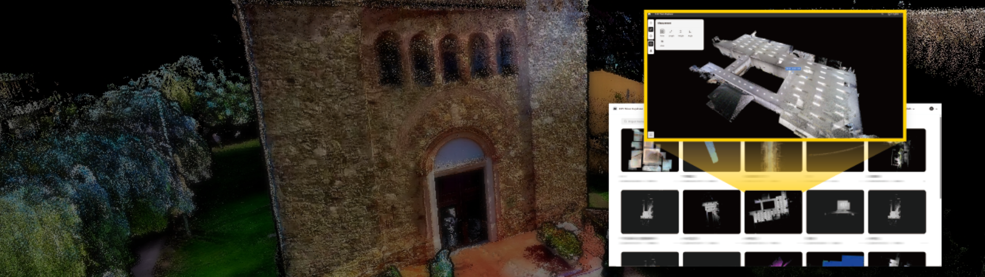
All-in-One Seamless Workflow
Seamlessly integrate with both FJD Trion Scan and Model software, offering a streamlined workflow from data capture to final deliverables.
Data collection
FJD Trion Scan
Real-time app control
Scan file management


Data processing
FJD Trion Model
Generate construction, forestry, mining reports, and more
Download the Latest ProgramGenerate Deliverables
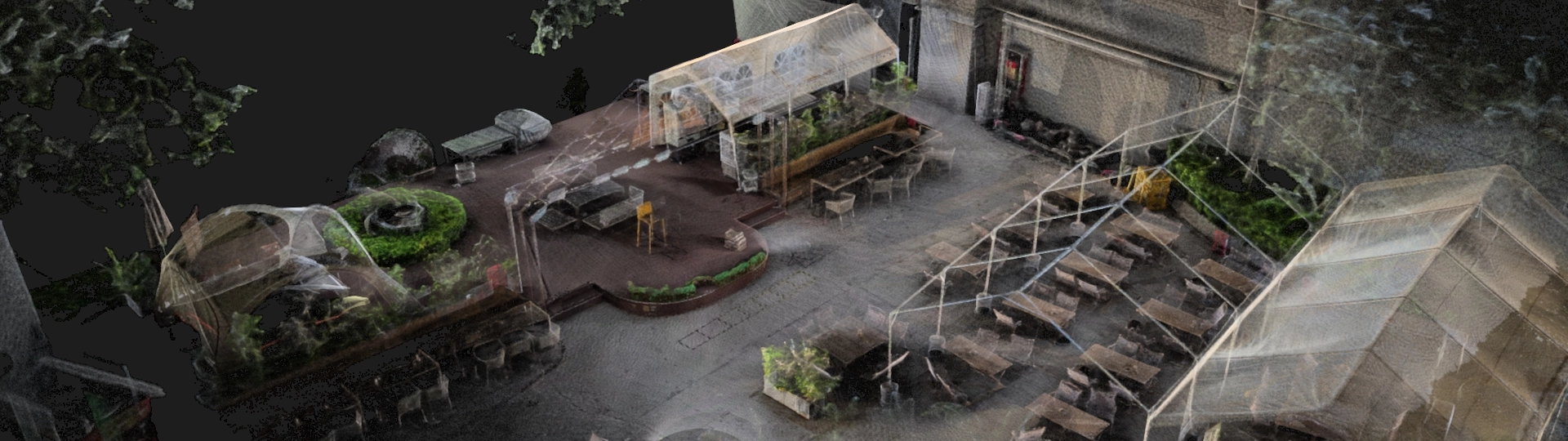
FJD Trion Model for Tablets
iPad and Android support
On-site post-processing and preview

Share and collaborate
FJD Trion Model
Share online and support collaboration across teams.
Start Free Trial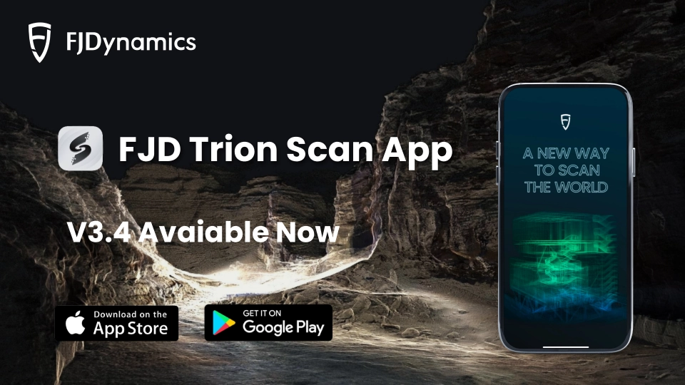
[Release Note] FJD Trion Scan App V3.4
2025-12-18 Learn More

FJD G31 PRO Underwater Version Helps Build Coastal Breakwater in Türkiye
2025-12-02 Learn More

FJD G31 PRO Empowers Precision Excavation for a Housing Project in Austria
2025-12-02 Learn More

FJD Easydig G31 Lite Streamlines Farmland Drainage Ditching in Italy
2025-11-27 Learn More

FJD G31 PRO Boosts Mining Road Maintenance Efficiency in Germany
2025-11-27 Learn More

Mapping with Zero Interruption: How to Map a Busy CBD Tower Without Downtime
2025-11-13 Learn More

320 Floors in One Day: Mapping a Public Housing Estate in Southern Hong Kong with FJD Trion P1
2025-11-12 Learn More
[Release Note] FJD Trion Explorer V1.3
2025-10-31 Learn More
Release Note: Scan APP V3.3
2025-10-28 Learn More