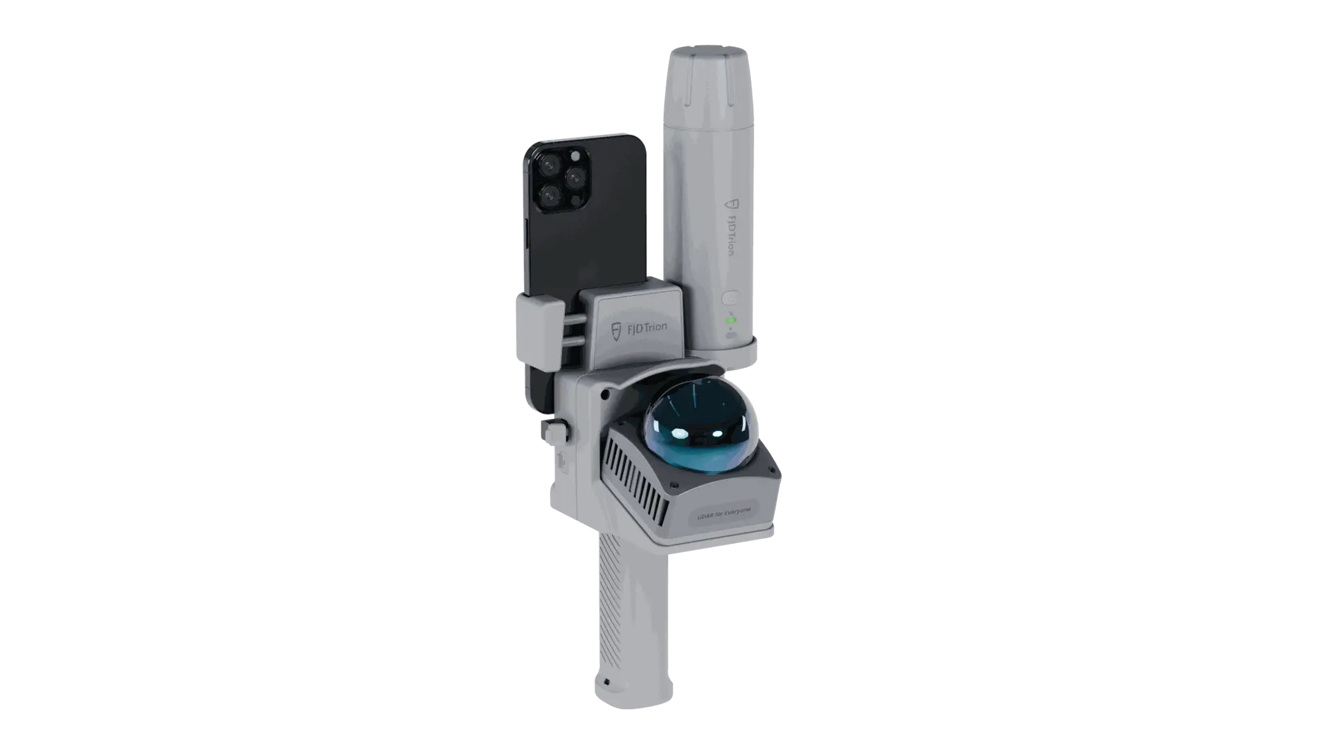
LiDAR scanningWalk the site.
Walk the site.
Capture its shape.
Reusable site geometryCoverage checked on siteFewer repeat measurements
Relative scan accuracy · lab-tested
Manufacturer specificationWorkflow benefit
Review the same 3D dataset for additional visible dimensions.Recommended setupAn integrated setup.
An integrated setup.
From field to office.
Combine V4E Go scanning with Model Web processing. Select the configuration for your coordinate and deliverable requirements.
Connected tools. One field workflow.
V4E Go + Model Web
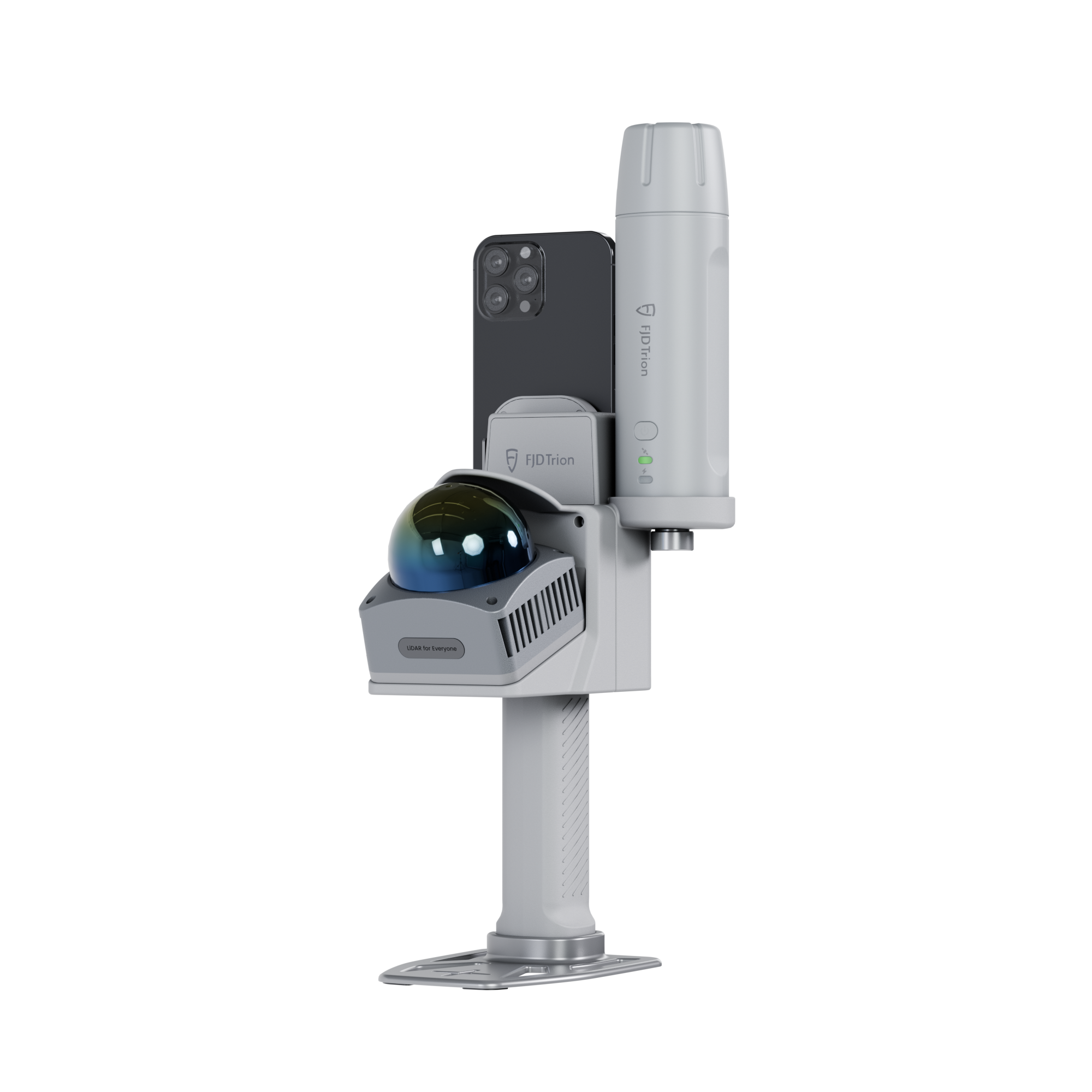
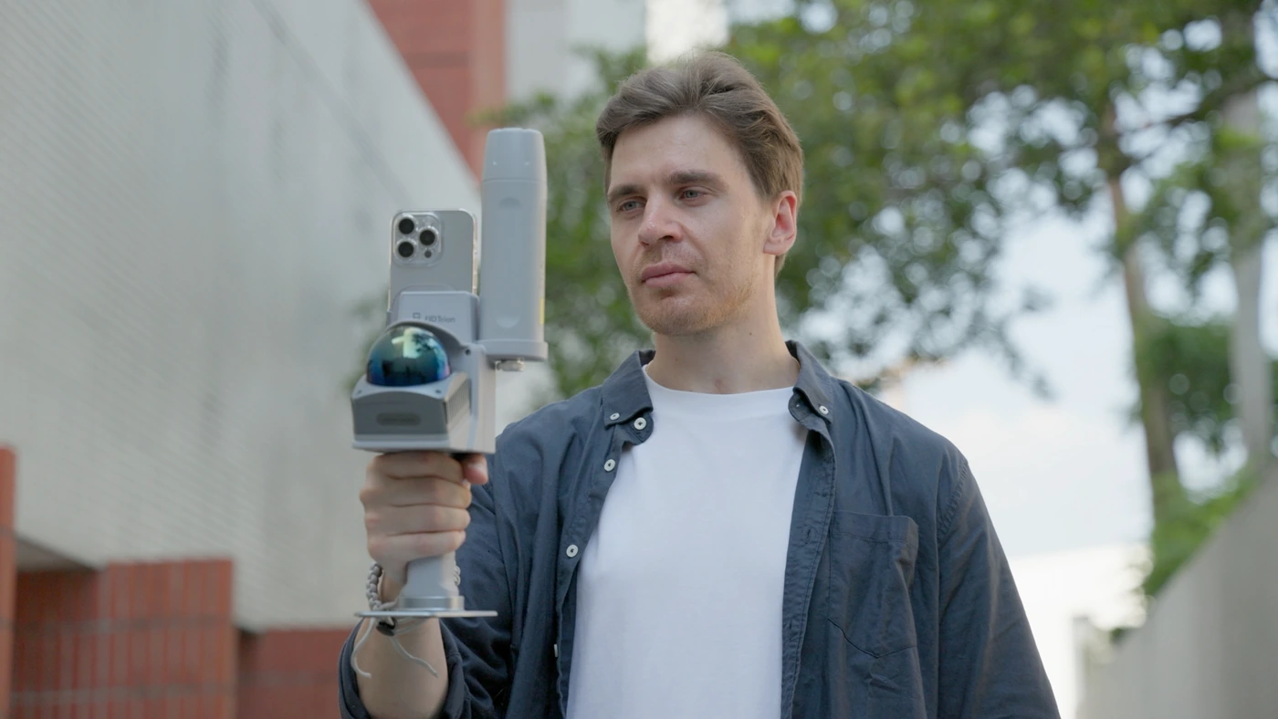
V4E Go
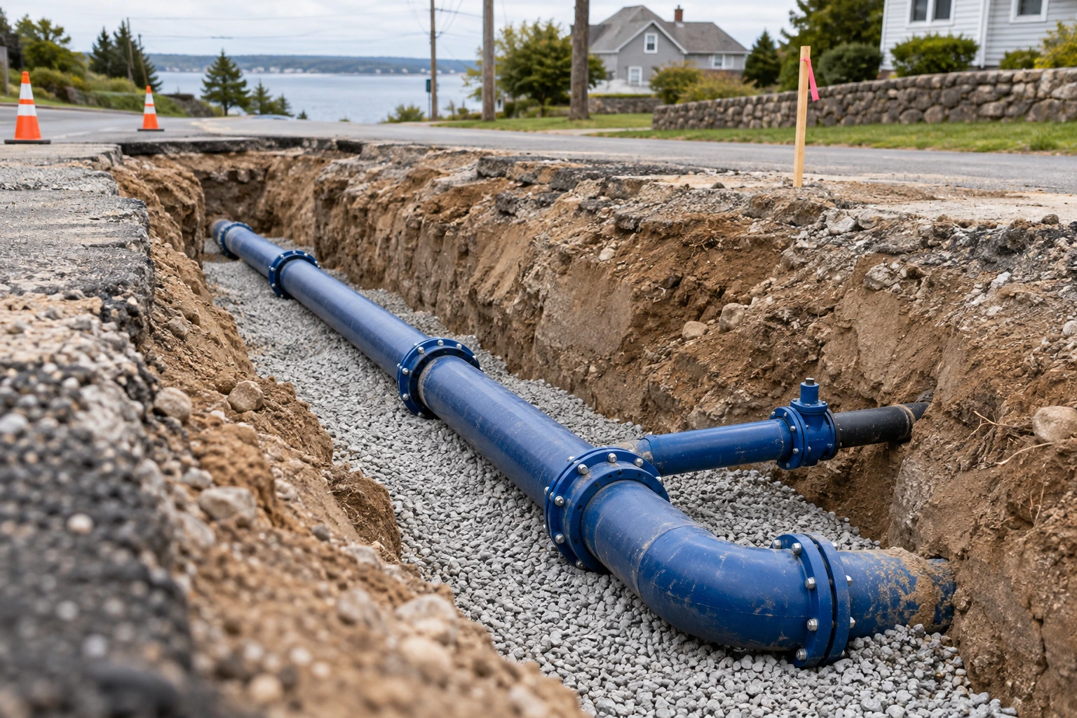
Capture visible pipework and site geometry with handheld LiDAR.
View in storeProduct detailsPackage & compatibility details for V4E Go
Before ordering: select the GNSS or no-GNSS option, check phone compatibility, correction needs, mounting accessories and Model Web processing costs.

Model Web
Process scan data, review the result and share project outputs.
View plans in storeProduct detailsPackage & compatibility details for Model Web
Confirm supported inputs, activated modules, storage/credits and export costs. A software subscription is not assumed to be included with hardware.
Hardware, accessories and software plans may be sold separately. Confirm the selected package before ordering.
WorkflowFrom field preparation
From field preparation
to project handover.
Existing conditions · Site geometry · Local 3D records
LiDAR scanning
View the field workflow.
Video coming soon
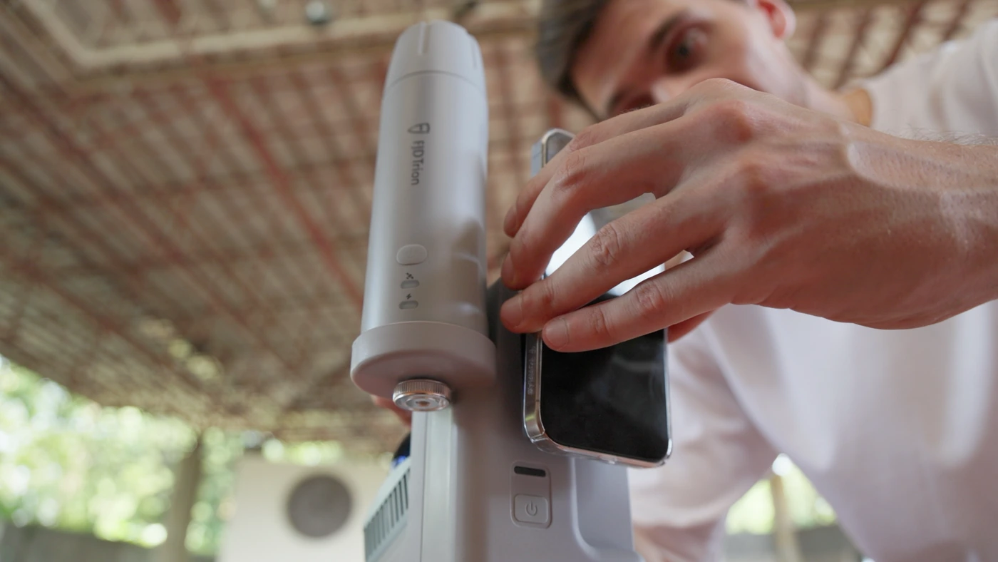
Step 01Choose the
Choose the
configuration
Define the survey extent, deliverables and coordinate reference system. Confirm Go variant, smartphone and app, mounting and a test capture.
Checks & results
- Quality checks
- Deliverable, coordinate requirement, Go variant, smartphone and app, mounts and test capture.
- Deliverable
- A confirmed setup and capture plan.
Why it mattersReduce incomplete scans and repeated walking.
Step 02Capture
Capture
with Go
Follow a connected route using the supported Trion Scan workflow. Record visible surfaces, site context and quality status.
Checks & results
- Quality checks
- Connected route, coverage, live quality and site conditions.
- Deliverable
- Raw scan data and a record of capture conditions.
Why it mattersKeep a broader geometry record for later questions.
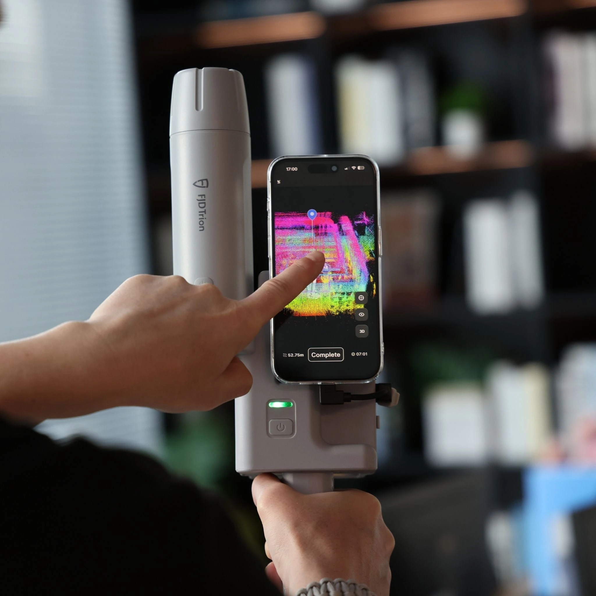
Step 03Review
Review
and fill gaps
Inspect coverage and tracking before leaving. Rescan missed areas and record obscured, wet or inaccessible surfaces.
Checks & results
- Quality checks
- Gaps, tracking problems, water, occlusion and inaccessible areas.
- Deliverable
- A checked point cloud and any recapture notes.
Why it mattersReduce the chance of finding missing data in the office.
Step 04Process
Process
and deliver
Use the supported Go processing workflow, check coordinates independently if required, then open and deliver the agreed files.
Checks & results
- Quality checks
- Supported processing and exports, independent coordinate check if required, and file opening.
- Deliverable
- Original data, supported outputs and check notes.
Why it mattersMatch the field effort to the deliverable the job needs.
DeliverablesDeliverables for
Deliverables for
your project team.
- Original capture and supported processed outputs
- Coverage, capture conditions and identified omissions
- Reference settings and independent checks where required
A verified project sample for this workflow will be added here. The reference image is not a same-project acceptance record.
Request a sample datasetWhat could your team save?
Estimate labour savings, payback and five-year returns for your project.
Application requirementsIs this the right fit
Is this the right fit
for your site?
Existing conditions · Site geometry · Local 3D records
Is GNSS positioning available with V4E Go?
No. The current official store lists variants with and without a GNSS receiver. Check the selected variant and the full setup.
Can I document buried pipes?
Capture visible, exposed utilities before backfill. This workflow does not detect pipes through soil or inspect pipe interiors.
How do I choose the software?
Use the current supported capture and processing workflow for your Go configuration and required export. Confirm licences, credits and storage costs.
Purchase & consultationSpecify the setup
Specify the setup
for your project.
Choose your equipment, or talk through your project with our team.