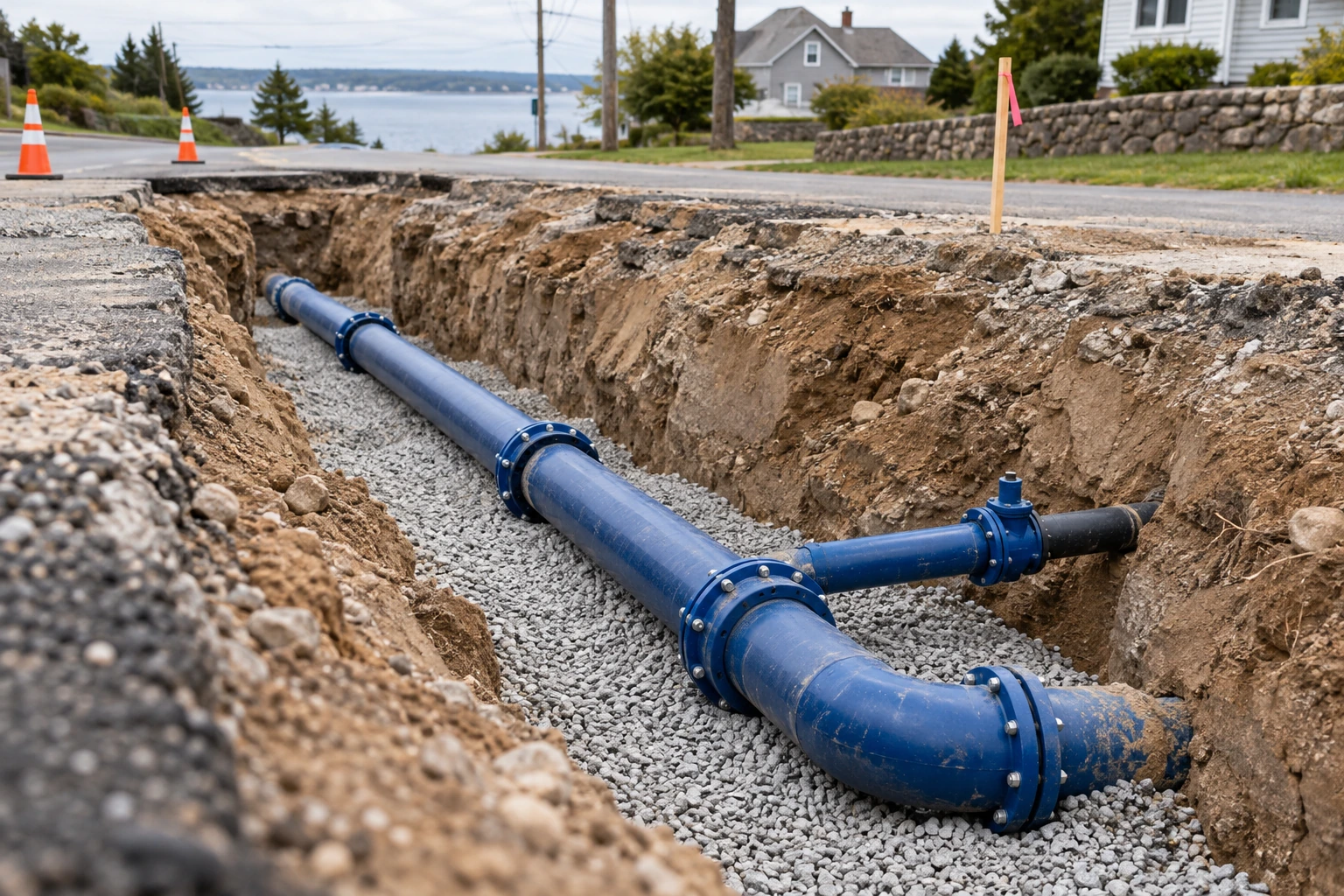
Trenchdocumentation
Document exposed utilities before backfilling and deliver traceable records for each surveyed section.
Explore solutionSet out design points, survey terrain and capture site conditions in 3D.
Select a workflow for your project requirements.
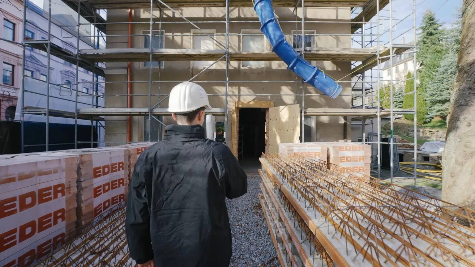
Select a survey task, review the workflow and choose the recommended equipment and software.
Document exposed utilities before backfilling and deliver traceable records for each surveyed section.
Explore solution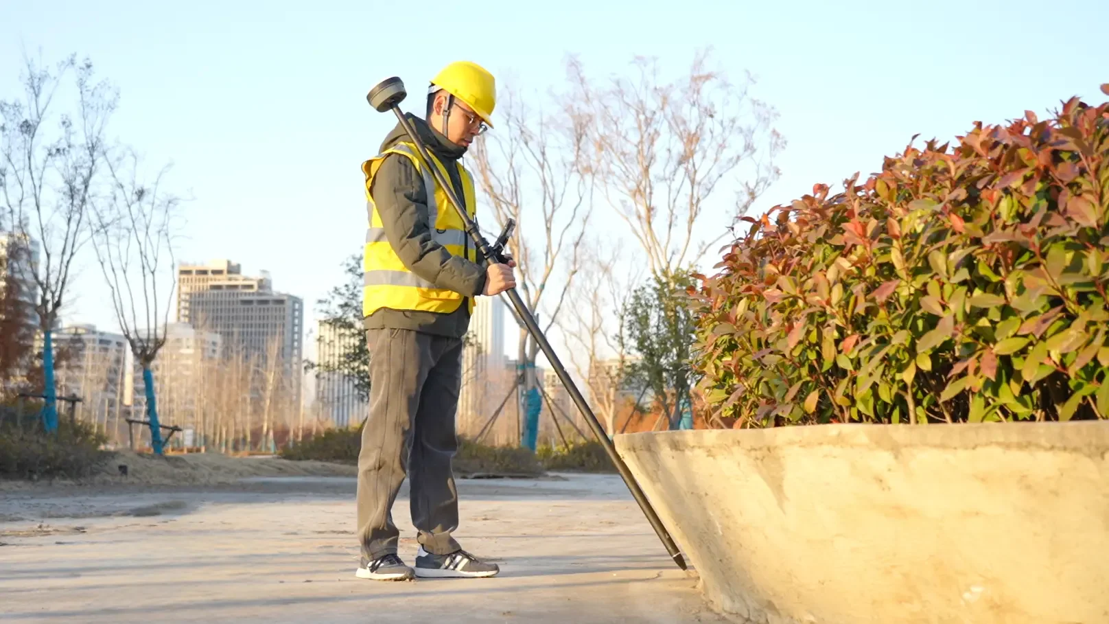
Set out design points, verify their positions and deliver documented stakeout records.
Explore solution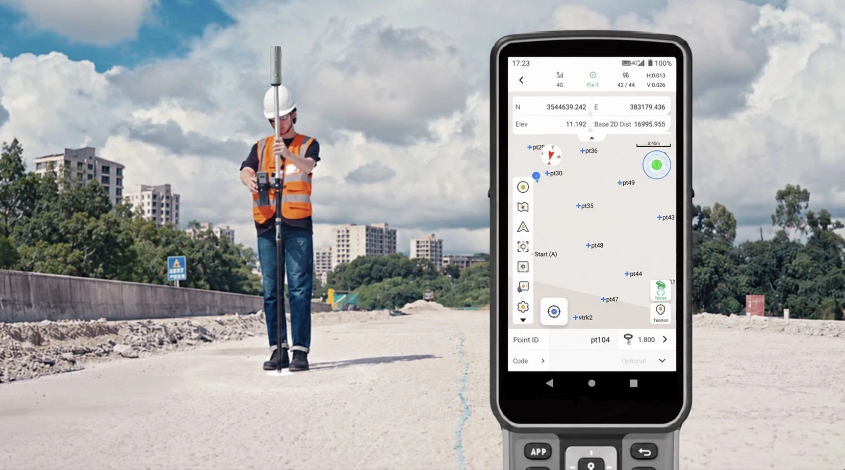
Establish control, collect terrain and feature points, and prepare data for your CAD or GIS workflow.
Explore solution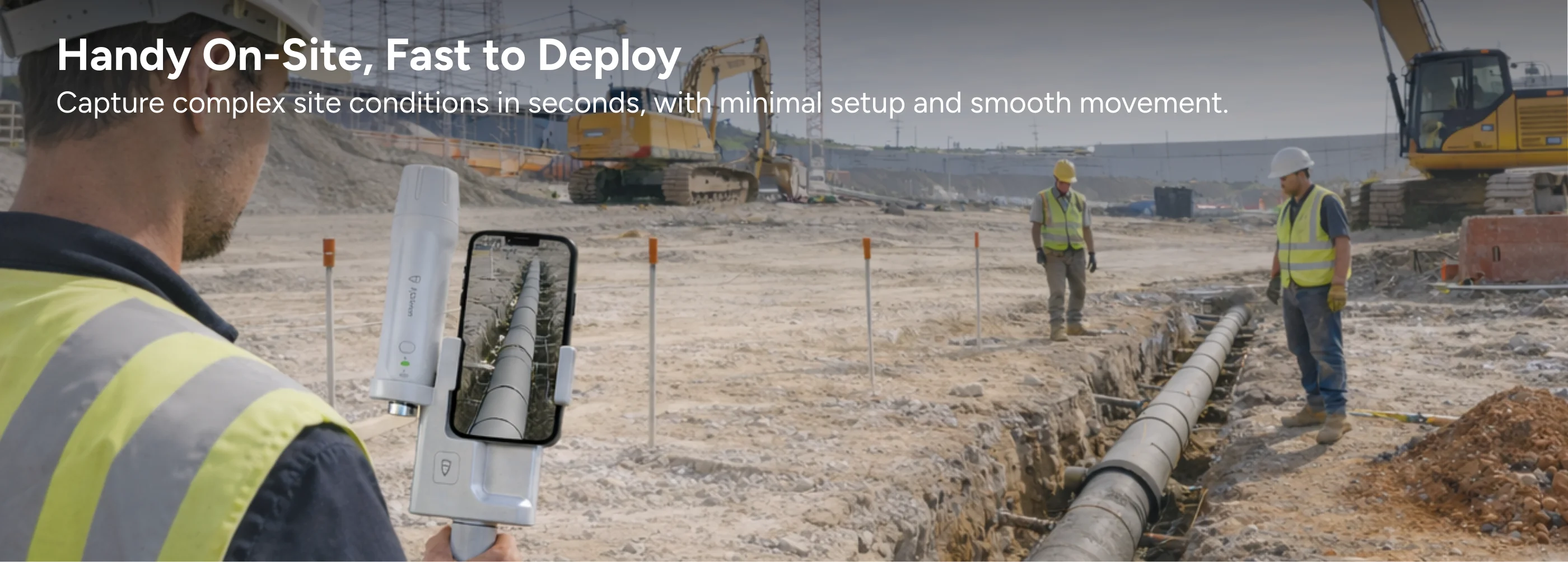
Capture exposed site features with V4E Scan, verify coverage and prepare the required deliverables.
Explore solution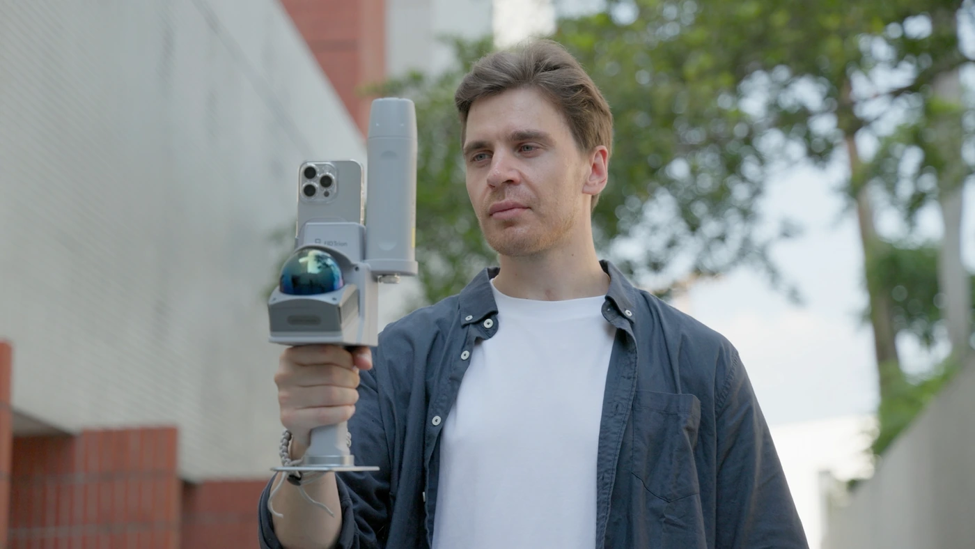
Capture site geometry with handheld LiDAR, verify coverage and prepare 3D deliverables.
Explore solution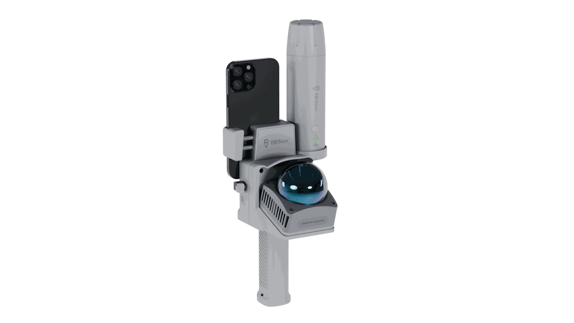
Capture 3D site geometry, verify georeferencing against independent checkpoints and deliver project data.
Explore solutionThe right setup starts with understanding the job.
Define the survey scope, site conditions and required deliverables.
Review field procedures, quality checks and data delivery requirements.
Select the recommended equipment and software, then review the available configurations in the store.
















Discuss site conditions, the coordinate reference system and required deliverables with our team.
Tell us what you need to measure, capture or deliver.