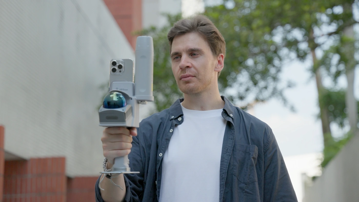
Smartsmartphone scanningA compact kit.
A compact kit.
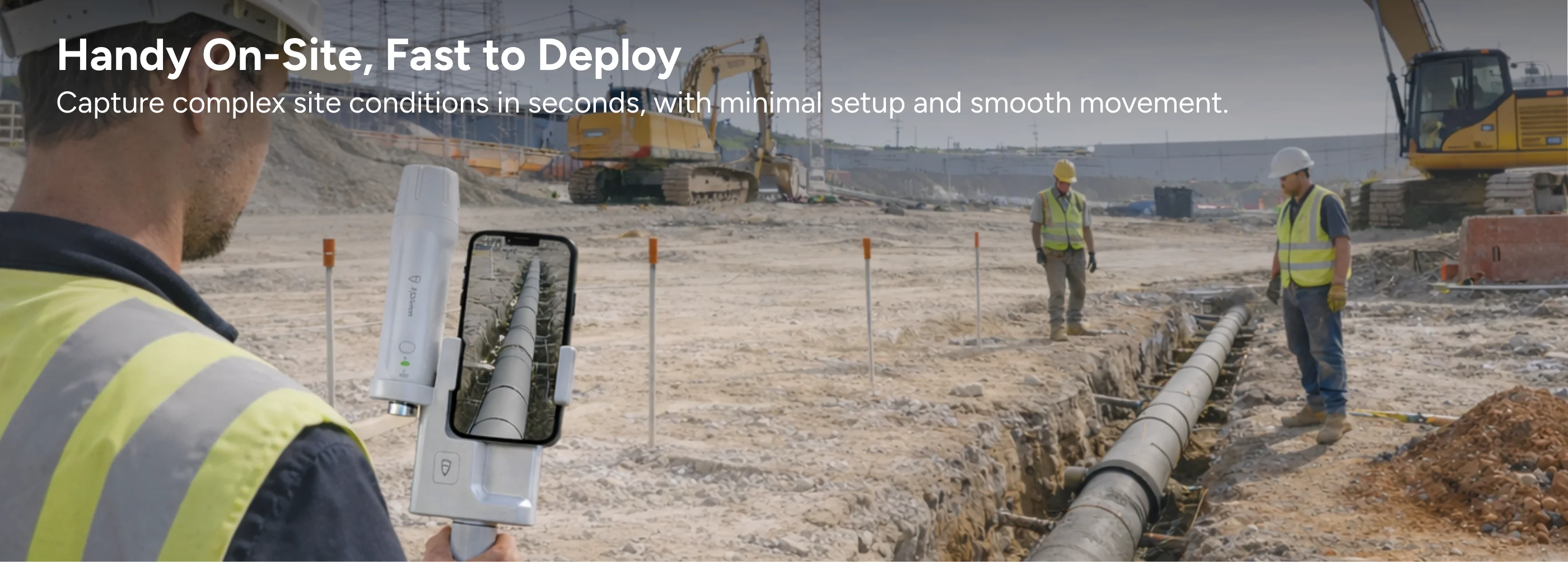
A visible site record.
Phone-based captureVisible site contextChecked deliverables
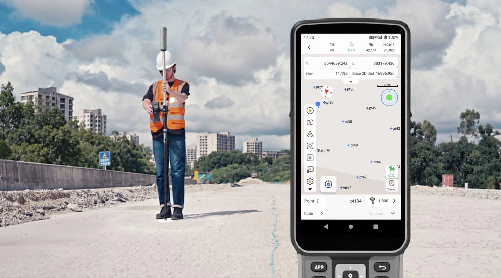
Published kit accuracy
Manufacturer specificationWorkflow benefit
Review coverage on site before processing the project record.Recommended setupAn integrated setup.
An integrated setup.
From field to office.
Choose the V4E Scan kit for a supported iPhone LiDAR and GNSS capture setup.
Your compact field capture setup.
V4E Scan
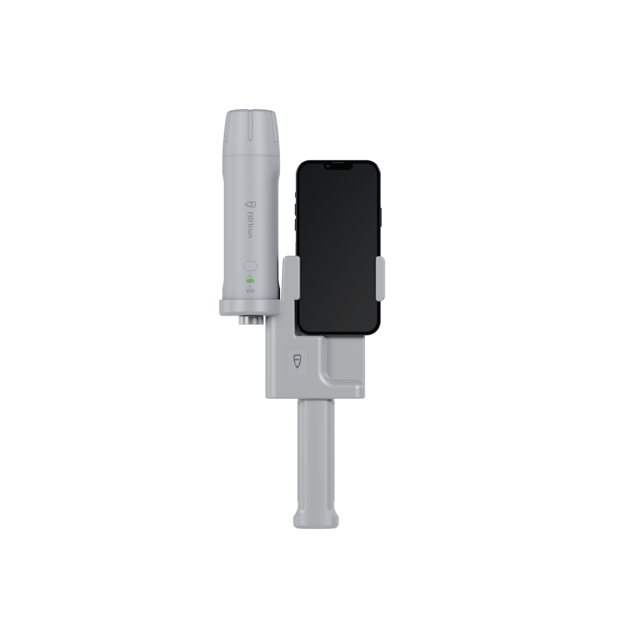
V4E Scan
Pair a supported iPhone with the V4E Scan kit for site documentation.
View kit optionsProduct detailsPackage & compatibility details for V4E Scan
Before ordering: confirm the compatible iPhone, included receiver and holder, app version, processing workflow and export charges.
Hardware, accessories and software plans may be sold separately. Confirm the selected package before ordering.
WorkflowFrom field preparation
From field preparation
to project handover.
Site documentation · Visible assets · Visual review
Smartsmartphone scanning
View the field workflow.
Video coming soon
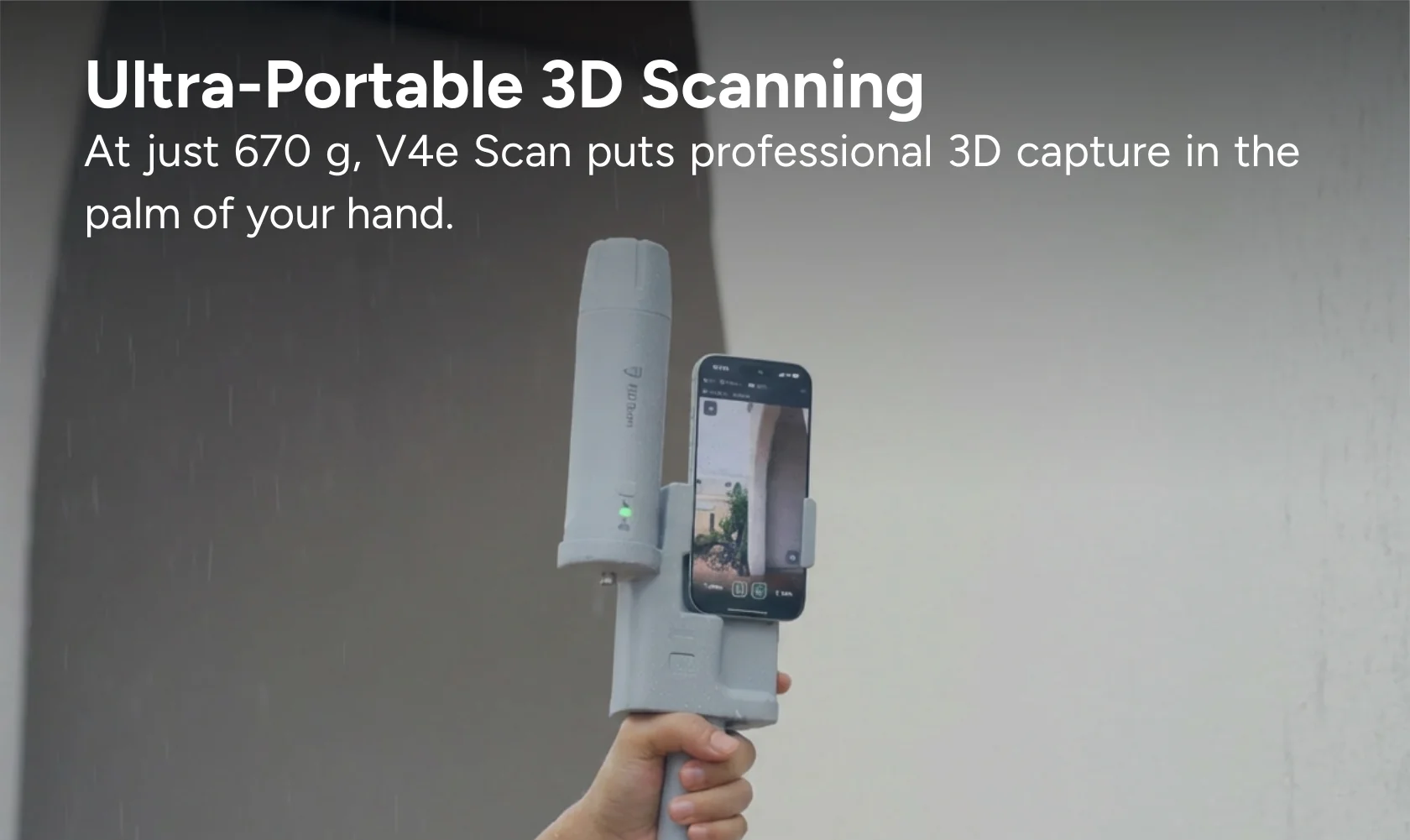
Step 01Assemble
Assemble
and verify
Confirm the exact V4E Scan kit, supported iPhone LiDAR, mount and app version. Connect positioning and verify a test capture.
Checks & results
- Quality checks
- Selected product configuration, phone LiDAR, app, connections and test capture.
- Deliverable
- A functioning supported setup.
Why it mattersAvoid purchasing incompatible components.
Step 02Capture
Capture
visible features
Use the supported Trion Scan workflow. Record visible surfaces and context, checking live coverage rather than using a photogrammetry workflow.
Checks & results
- Quality checks
- Coverage, visible features and positioning status.
- Deliverable
- Original capture with identifiable site context.
Why it mattersKeep the record useful for later review.

Step 03Process
Process
and inspect
Use the processing workflow supported by this Scan configuration. Check coverage, georeferencing settings and independent references for the intended use.
Checks & results
- Quality checks
- The supported processing workflow and independent checks.
- Deliverable
- Reviewed outputs and stated limitations.
Why it mattersSeparate a useful visual record from a verified measurement.
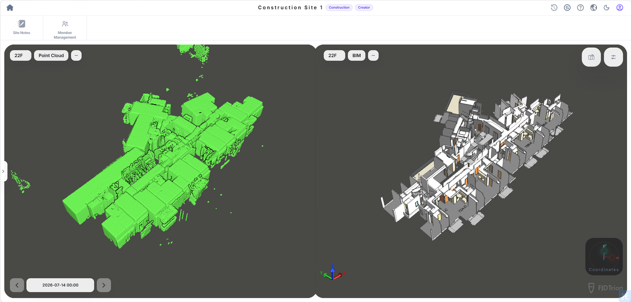
Step 04Deliver
Deliver
the files
Open the actual exported files and retain the source record. Include section IDs, conditions, checks and any manual edits.
Checks & results
- Quality checks
- Open the exported file and retain the source record.
- Deliverable
- A documented deliverable package.
Why it mattersMake the result usable by the receiving team.
DeliverablesDeliverables for
Deliverables for
your project team.
- Original capture and identifiable site sections
- Files actually produced by the supported Scan workflow
- Coverage, coordinate reference and independent-check notes
A verified project sample for this workflow will be added here. The reference image is not a same-project acceptance record.
Request a sample datasetWhat could your team save?
Estimate labour savings, payback and five-year returns for your project.
Application requirementsIs this the right fit
Is this the right fit
for your site?
Site documentation · Visible assets · Visual review
Is V4E Scan a current product?
V4E Scan has an official product page. Check the selected region, current availability and complete kit contents there.
Is this the same as phone photogrammetry?
No. The official V4E Scan page describes iPhone LiDAR with GNSS. Photo-based reconstruction is a separate workflow and is not assumed here.
What should I check before ordering?
Supported iPhone model, LiDAR availability, receiver and mounting components, app version, correction requirements, output formats and processing costs.
Purchase & consultationSpecify the setup
Specify the setup
for your project.
Choose your equipment, or talk through your project with our team.